| |
GPS Data Collection
GPS and Utility Location/Mapping
Suncoast Infrastructure, Inc. adds GPS and Utility Location/Mapping services to its wastewater services. We use the latest electronic field
equipment for utility location and mapping. All of our GPS systems are equipped with Real-Time capability. This allows us to acquire final
results as we collect data to centimeter accuracy, when required. We then utilize the latest desktop mapping and in-house software to create
digital databases and other outputs.
Our services include:
- Field Location of Utilities (Cables, Piping, Valves, Manholes, etc.)
- X,Y,Z, coordinates for GIS Databases and As-Built Drawings (Manholes, Meters, Valves, Poles, Catch Basins, etc.)
- Mapping with full GIS capabilities
- Digitizing of existing Paper Utility Maps
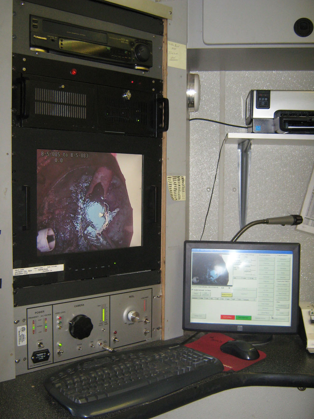
The GPS data collection is mostly used during manhole inspections. The data is imported into a GIS mapping system. The data collected
will provide the client with an overall view of the manholes in the system. To ensure accurate readings, we have a station available to
the crew to collect data and verify proper mapping of the system.
The field crews will start and end each data collection session by shooting known points that have been identified by the client. The
work is downloaded and processed at the end of the day so that the field crew can visually identify areas that need verification. The
data will also be compared to any existing as-built information that is available from the client so that any subtle differences can be
identified and resolved. Once we are satisfied with the quality of the data, we will process it into the Microsoft Access database for delivery to the client.
Our territory includes: Mississippi, Louisiana, Arkansas, Georgia, East Texas, West Tennessee, Alabama and Florida Panhandle.
Contact us for more info.
|
Projects Gallery

|
|
|
|